 English
 日本語
日本語
 Français
 Español
 Deutsch
UAS Ecosystem
Rhino 50
High-capacity commercial heavy-lift UAV platform for demanding industrial integration and logistics.
System Overview
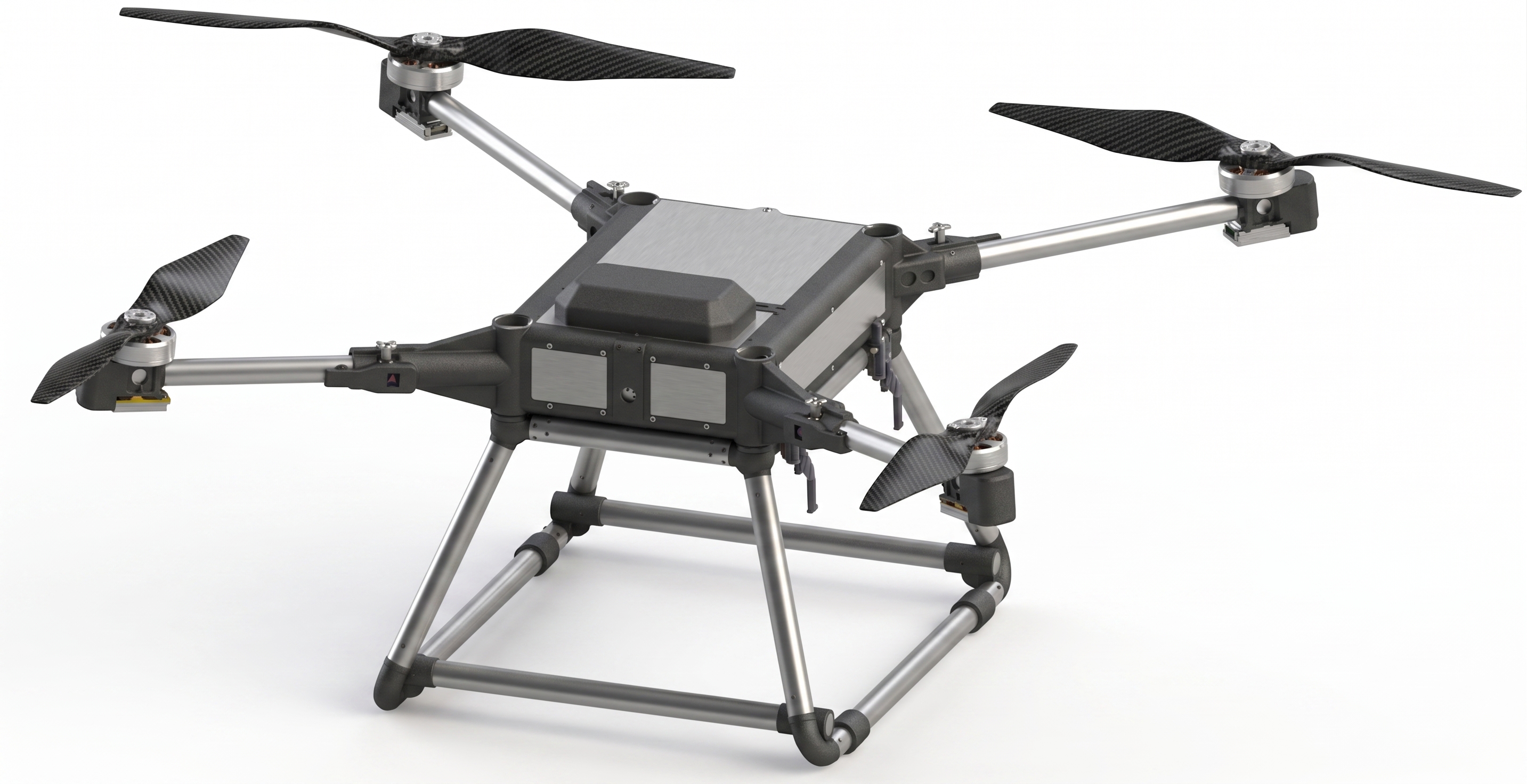
The Rhino 50 is a secure, heavy-duty commercial multirotor platform with High-Level Cybersecurity certification and Wind Tunnel Level 9 resilience.
Technical Specifications
GPS: ±1m (H), ±0.5m (V)
Dynamic Spatial Coordinate Generation (DSCG)
Integrated with Smartmicro DRVEGRD 169 Radar and OUSTER OS1 MAX LiDAR, the platform provides persistent, real-time spatial awareness. Utilizing onboard edge computing, it continuously generates absolute GPS coordinates for multiple monitored reference points — referenced dynamically against the platform's own RTK positioning. Designed to relay encrypted coordinate telemetry back to the Ground Control Station (GCS) and secondary relay stations with sub-50ms latency, enabling high-fidelity, actionable mapping of critical infrastructure and mobile assets.
Developer & Integration Center
Taiwan UAS Group supports professional system integrators. Request technical documentation including Interface Control Documents (ICD), electrical requirements, and payload integration guides.
Request Integration Access