 English
 日本語
日本語
 Français
 Español
 Deutsch
Industry Solutions
3D Mapping & Digital Twin
LiDAR scanning for buildings and public facilities.
Solution Overview
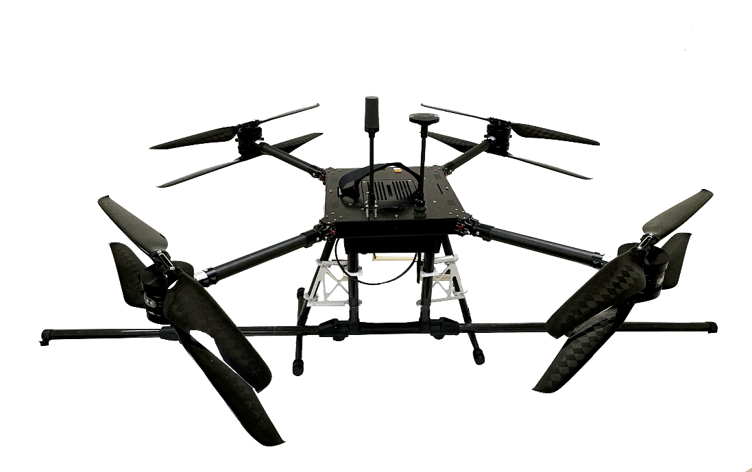
Advanced Capabilities: Large-Scale Magnetic Scanning
The system supports Large-scale Magnetic Anomaly Scanning. By integrating high-sensitivity magnetometers with precision RTK positioning, our platforms can rapidly map subterranean pipelines, unexploded ordnance (UXO), and mineral deposits over vast areas with centimeter-level accuracy, directly constructing a comprehensive Digital Twin of both surface and subsurface environments.
High-Precision 3D Mapping & Digital Twins
In urban planning, forestry, and large-scale construction, accurate topographical data is paramount. Our advanced platforms integrate Ouster Lidar technology to penetrate dense canopy and capture millions of data points per second. This incredibly high-fidelity data drastically accelerates the mapping process, instantly generating functional Digital Twins of real-world environments without deploying massive surveying crews.